NBBORDER GATE POLICENỘI BÀI INTERNATIONAL AIRPORTReport a concern 0988 840 505
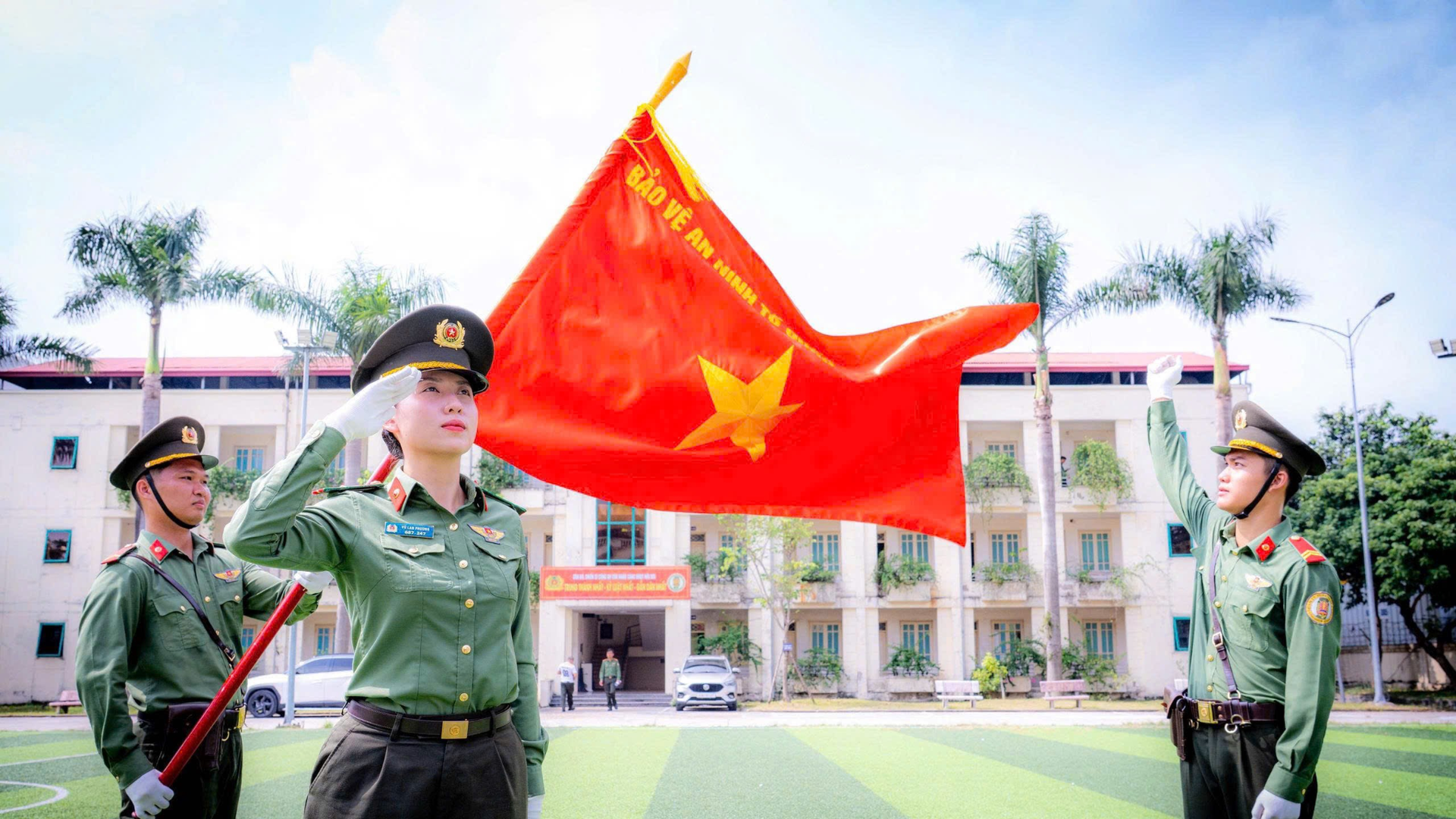
People’s Public Security officers with the national flag

Aviation safety begins with small actions on the ground

Use UAVs, camera drones and other drones responsibly
Help keep every flight safe

Using a camera drone: what should you check?

SECURE
SAFE
CIVILIZED
WELCOMING

Nội Bài · VIETNAM
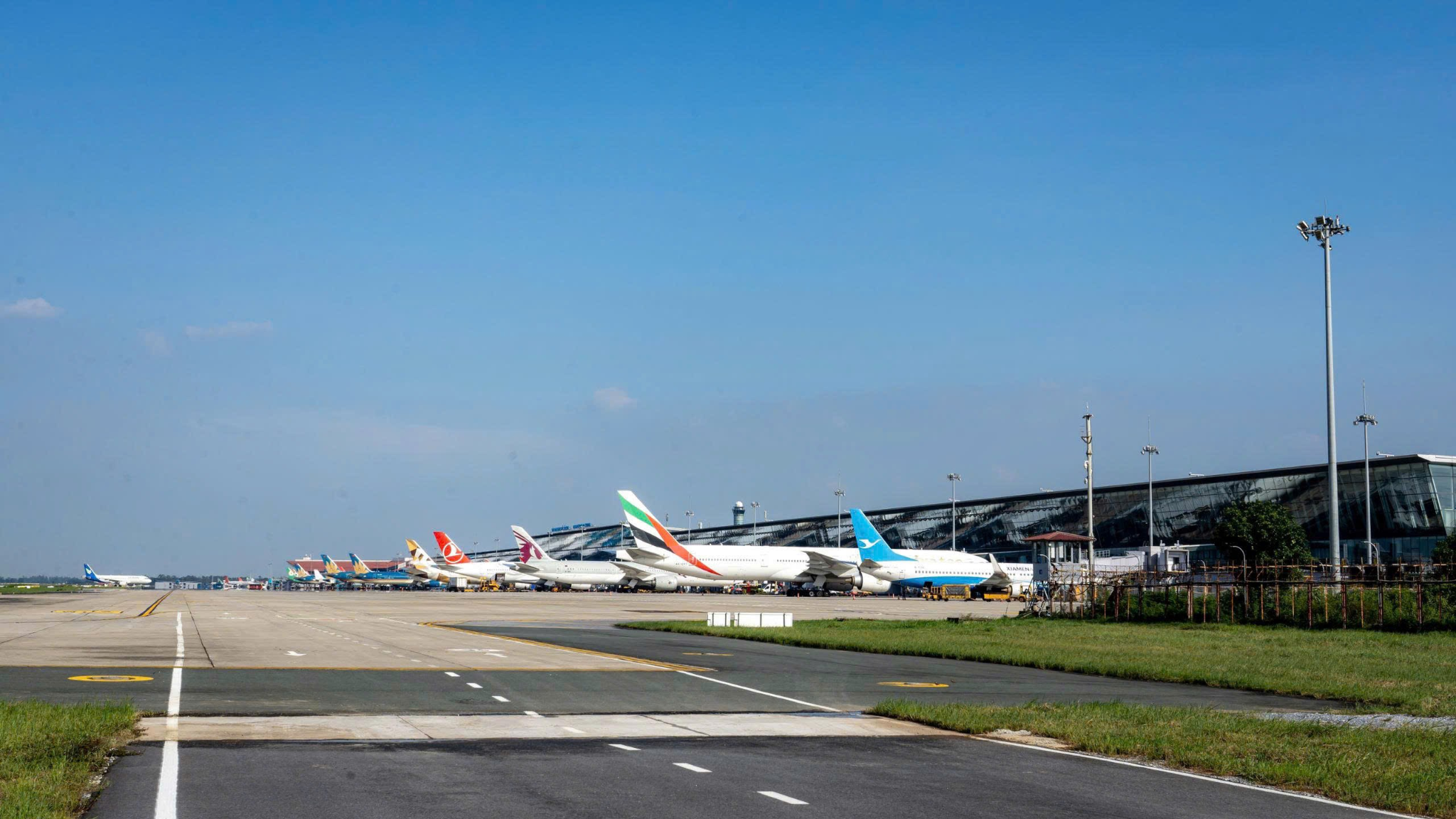
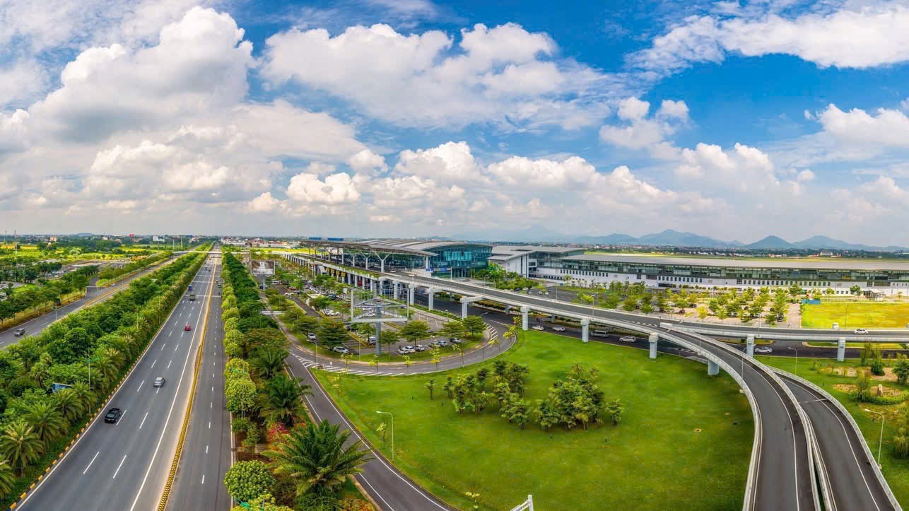
Aircraft on the apron beneath blue skies at Nội Bài
INFORMATION FOR MEMBERS OF THE PUBLIC USING FLYCAM / DRONE / UAV
01

UNDERSTAND PROHIBITED AND RESTRICTED FLIGHT ZONES

Under Prime Minister’s Decision No. 18/2020/QĐ-TTg dated 10 June 2020, prohibited and restricted flight zones are established to safeguard national defence, security and flight safety.

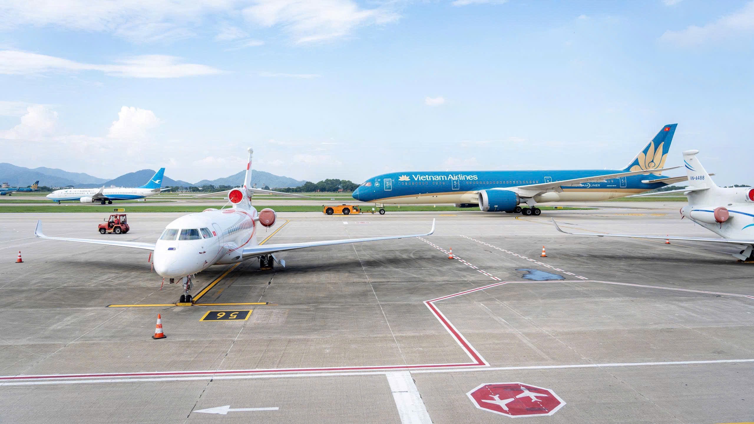
Aircraft on the apron

PROHIBITED FLIGHT ZONES

Do not conduct flight operations without authorization.

For airports with one runway:

  • Extend 15 km from each end of the runway;
  • Extend 5 km on each side of the centreline;
  • Apply at all altitudes.

For airports with two or more runways:

  • Use the two outermost runways as the reference;
  • Extend 15 km from both ends;
  • Extend 5 km on each side;
  • Apply at all altitudes.

RESTRICTED FLIGHT ZONES

A restricted flight zone is an area in which flight operations of unmanned aircraft and other aerial vehicles must comply with the conditions and limits prescribed by law.

This includes the area adjoining the prohibited flight zone of an airport or aerodrome, which is designated as a restricted flight zone under the regulations.

This area extends outward from the boundary of the airport or aerodrome’s prohibited flight zone:

  • By 3 km in width and 5 km in length;
  • It applies to airspace below 120 m above ground level.

Restricted flight zones also include other areas prescribed by law, such as airspace above 120 m above ground level (excluding prohibited flight zones), crowded areas, border areas and other designated areas.

Flight operations within restricted flight zones must strictly comply with the prescribed conditions, limits and requirements.

DO NOT ESTIMATE

  • Do not determine the boundaries by sight.
  • Do not estimate the distance from the airport.
  • Do not rely solely on commune or ward names.

To determine exactly which zone your intended flight location falls within, check the official map.

Aircraft operating at the airport
02

PROHIBITED AND RESTRICTED FLIGHT ZONES AT NỘI BÀI INTERNATIONAL AIRPORT

37 COMMUNES AND WARDS ARE AFFECTED

A total of 37 communes and wards in Hà Nội and Bắc Ninh cities and Phú Thọ province have administrative boundaries lying wholly or partly within the prohibited or restricted flight zones associated with Nội Bài International Airport.

HÀ NỘI CITY – 14 COMMUNES+

08 communes with parts of their administrative areas within prohibited and restricted flight zones:

  • Nội Bài
  • Sóc Sơn
  • Kim Anh
  • Đa Phúc
  • Thư Lâm
  • Phúc Thịnh
  • Tiến Thắng
  • Quang Minh

06 communes with parts of their administrative areas within restricted flight zones:

  • Mê Linh
  • Thiên Lộc
  • Yên Lãng
  • Đông Anh
  • Phù Đổng
  • Trung Giã
PHÚ THỌ PROVINCE – 11 COMMUNES/WARDS+

01 ward whose entire administrative area lies within a prohibited flight zone:

  • Phúc Yên Ward

05 communes/wards with parts of their administrative areas within prohibited and restricted flight zones:

  • Bình Nguyên Commune
  • Xuân Lãng Commune
  • Bình Tuyền Commune
  • Bình Xuyên Commune
  • Xuân Hòa Ward

05 communes/wards with parts of their administrative areas within restricted flight zones:

  • Yên Lạc Commune
  • Tam Hồng Commune
  • Nguyệt Đức Commune
  • Vĩnh Yên Ward
  • Vĩnh Phúc Ward
BẮC NINH CITY – 12 COMMUNES/WARDS+

05 communes/wards with parts of their administrative areas within prohibited and restricted flight zones:

  • Yên Phong Commune
  • Văn Môn Commune
  • Tam Giang Commune
  • Phù Khê Ward
  • Đồng Nguyên Ward

07 communes/wards with parts of their administrative areas within restricted flight zones:

  • Đại Đồng Commune
  • Tiên Du Commune
  • Tam Đa Commune
  • Xuân Cẩm Commune
  • Yên Trung Commune
  • Từ Sơn Ward
  • Tam Sơn Ward
03

04 ITEMS MUST BE CHECKED BEFORE FLYING

CHECK THE FLIGHT LOCATION

Identify the exact intended flight location.

Check whether the location falls within:

  • A prohibited flight zone;
  • A restricted flight zone;
  • An area subject to other special requirements or conditions.

Do not estimate. Do not guess based on the distance from the airport.

MAP OF PROHIBITED AND RESTRICTED FLIGHT ZONES

Open the Ministry of National Defence map

CHECK THE AIRCRAFT

The aircraft must meet the prescribed requirements for registration, standards, technical regulations, operation and use.

Before operation or use, the aircraft must have a valid Registration Certificate or Temporary Registration Certificate as prescribed.

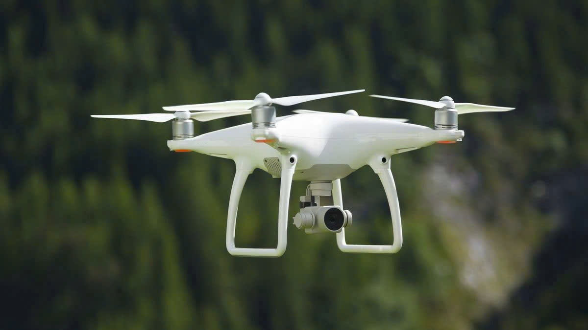
A camera drone

CHECK THE AIRCRAFT OPERATOR

For aircraft with a maximum take-off weight below 0.25 kg:

  • The operator is not required to be 18 years old or older;
  • Prohibited and restricted flight zones and other regulations must still be observed;
  • Do not operate with alcohol, drugs, sedatives or other prohibited substances in the blood or breath, as prescribed.

For aircraft with a maximum take-off weight of 0.25 kg or more:

  • The operator must be at least 18 years old;
  • A visual flight operator licence is required as prescribed.

For aircraft weighing 2 kg or more, flights beyond visual line of sight, or flights following a pre-programmed route through a central controller:

An instrument flight operator licence or an internationally issued qualification or certificate recognized under the regulations is required.

CHECK THE FLIGHT PERMIT

Before flying, check:

  • Flight location and area;
  • Altitude;
  • Time;
  • Control method;
  • The conditions, limitations and requirements specified in the flight permit.

Fly in accordance with the authorization granted.

REGISTRATION AND PERMIT PROCEDURES

Search now
04

LEGAL RESPONSIBILITIES

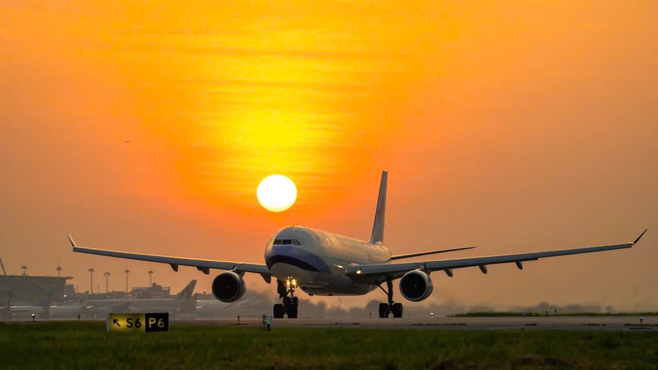
An aircraft at sunset

ONE UAV – ONE RESPONSIBILITY

Using UAVs, camera drones or other drones contrary to regulations may result in administrative penalties, criminal liability and liability for damages, depending on the nature, severity and consequences of the conduct.
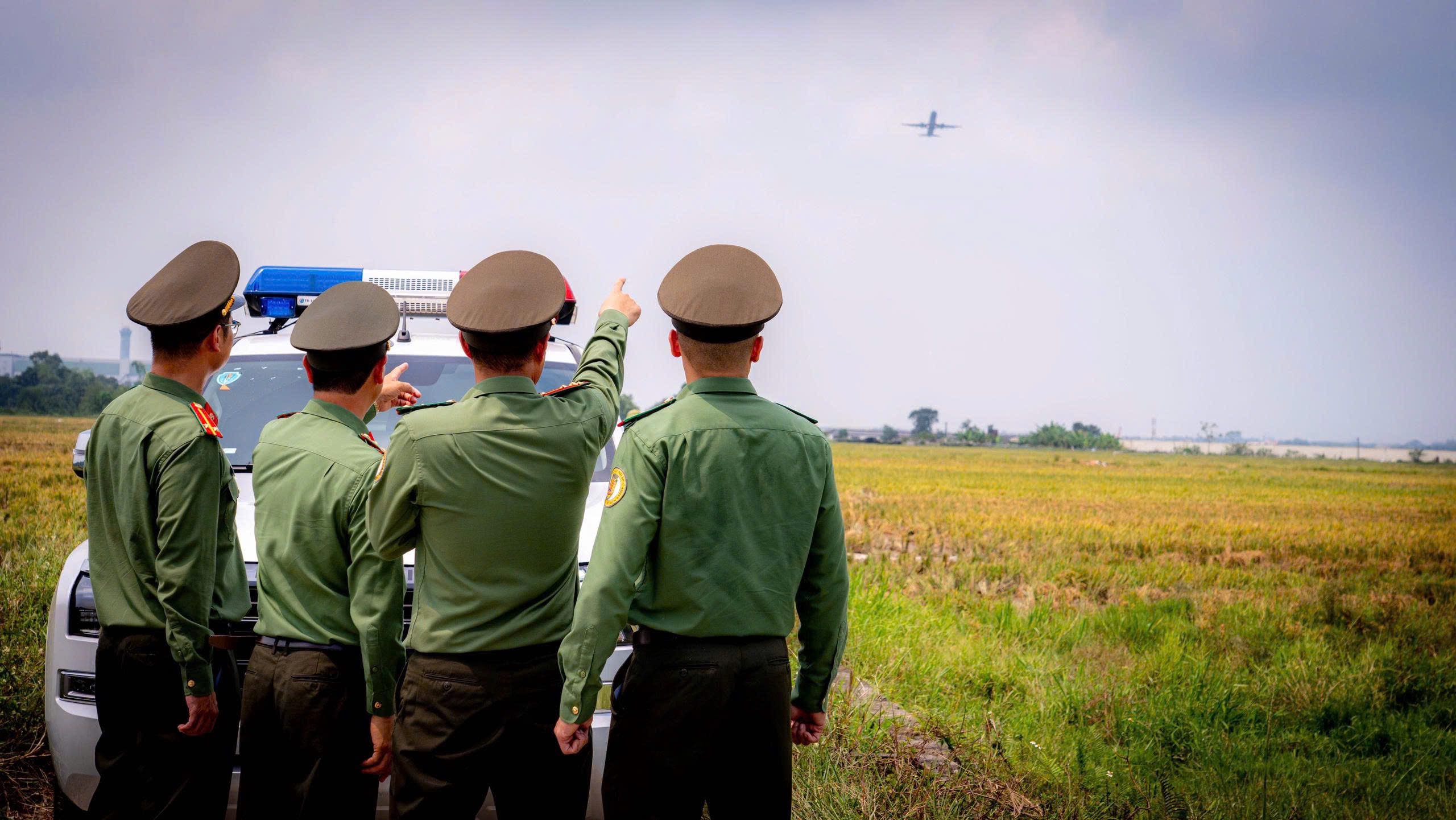
Police officers observing flight operations

ADMINISTRATIVE PENALTIES

Under the applicable regulations, certain violations may incur penalties:

VND 2–3 MILLION

For certain violations of requirements concerning registration, conditions, or the location, time, area or coordinates of flight operations, as prescribed.

VND 8–9 MILLION

For aerial filming or photography without permission, as prescribed.

VND 9–12 MILLION

For conducting flight operations that do not comply with the authorization granted.

VND 12–15 MILLION

For failing to comply with orders or instructions from competent authorities managing, directing or supervising flight operations.

VND 20–30 MILLION

For conducting flight operations without a flight permit, as prescribed.

VND 30–40 MILLION

For using unmanned aircraft or ultralight aerial vehicles to obstruct or endanger other aircraft.

The specific penalty is determined by the conduct, nature and severity of the violation and the law applicable at the time of enforcement.

CRIMINAL LIABILITY

If obstruction of air traffic meets the elements of a criminal offence, the offender may be prosecuted under Article 278 of the Criminal Code — Obstruction of Air Traffic.

The applicable penalty range depends on the nature, severity and consequences of the conduct under the Criminal Code.

COMPENSATION FOR DAMAGE

If a violation causes damage, the person responsible may be required to pay compensation in accordance with the law.

IMPORTANT NOTE

UAV operations near airports and aerodromes must strictly comply with regulations on prohibited and restricted flight zones and flight safety.

A seemingly small action on the ground can affect an entire flight in the sky.
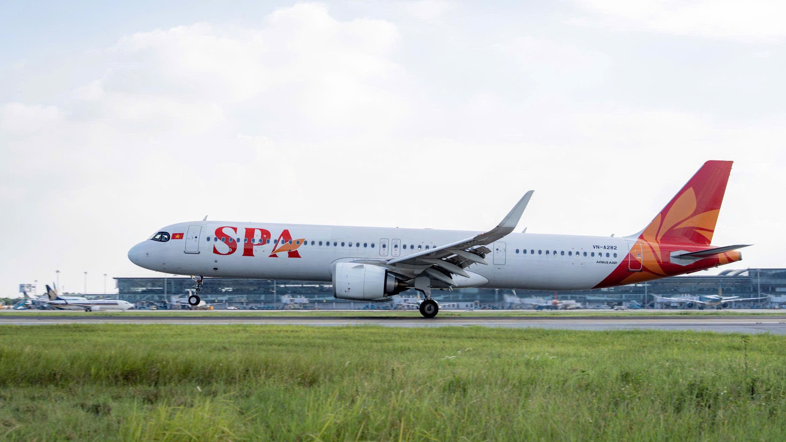
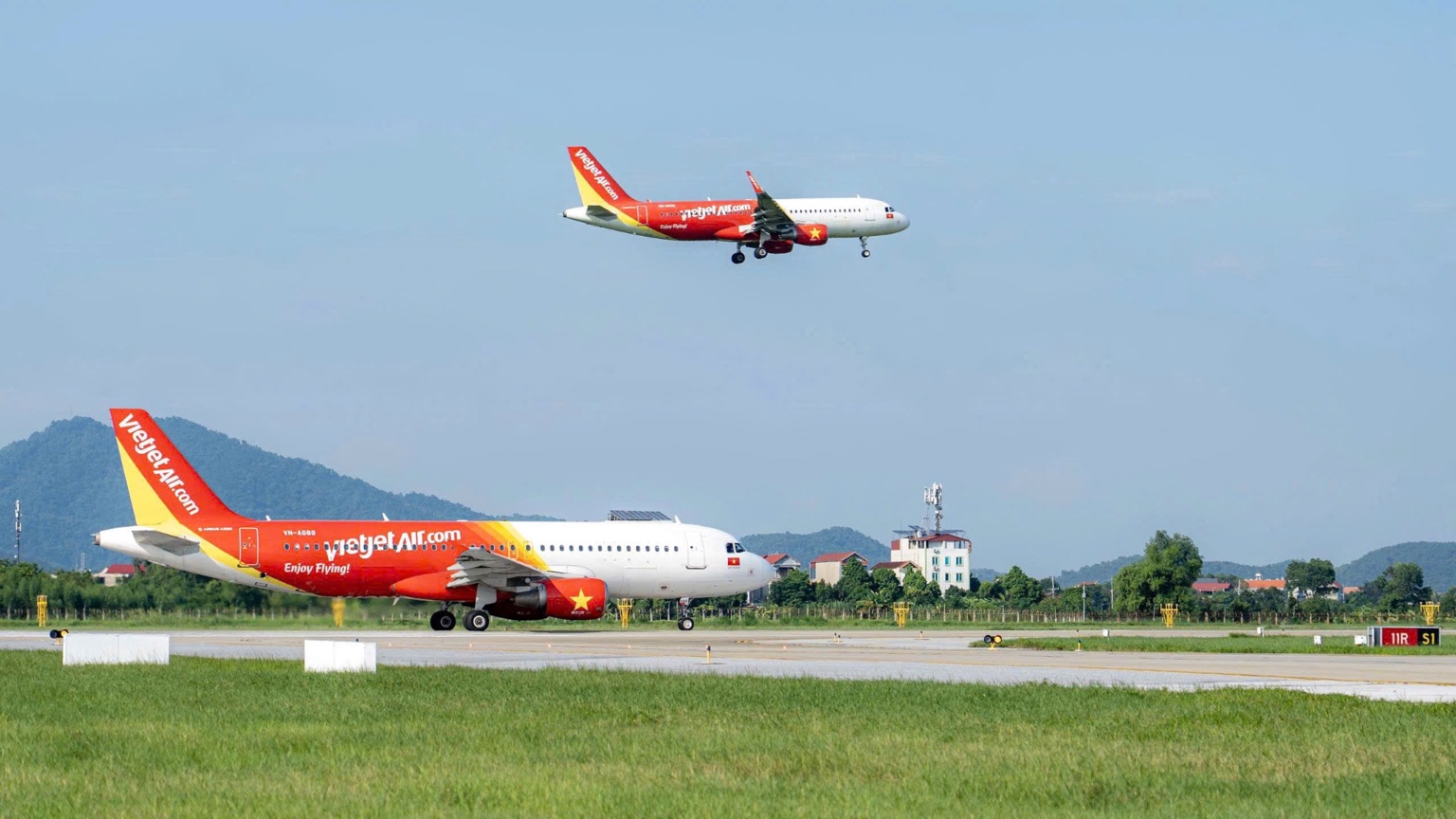
An aircraft landing at the airport
05

OTHER HAZARDS AFFECTING AIRCRAFT OPERATIONS

NOT ONLY UAVS

Flight safety can be affected not only by UAVs, camera drones and other drones, but also by factors such as:

LASERS – HIGH-INTENSITY LIGHT SOURCES

KITE FLYING – BALLOON RELEASES – SKY LANTERNS

FIREWORKS – FLARES – SIGNAL FLARES

RELEASING BIRDS – ATTRACTING BIRDS

BURNING STRAW – GENERATING SMOKE

LIVESTOCK GRAZING

Do not engage in activities that could affect aviation security or flight safety.

06
Report a concern

See a risk? Report it!

If you observe UAVs, camera drones, other drones or activities that may threaten aviation security or flight safety, please promptly notify the competent authorities.

NỘI BÀI INTERNATIONAL AIRPORT BORDER GATE POLICE

0988 840 505 ↗

Or contact the nearest police authority.

WHEN REPORTING, PLEASE PROVIDE THE FOLLOWING IF POSSIBLE

  • Location of the sighting;
  • Time;
  • Direction of movement;
  • Description of the aircraft or activity;
  • Photos or videos, if available and safe to obtain.

Do not approach, pursue or interfere with the aircraft on your own.

AVIATION SAFETY IS HAPPINESS FOR EVERY FAMILY.

View map Call to report